The Askja Trail
Ferðafélag Akureyrar (The Touring Club of Akureyri) introduces The Askja Trail, a five day hike through the stars of the Icelandic wilderness, Herðubreiðarlindir, Askja (which is one of the most famous calderas on the planet), lake Öskjuvatn with its mistique and history, the crater Víti the wilderness of Ódáðahraun.
The Touring Club of Akureyri (FFA) has built up a walking trail with huts across the lava field Ódáðahraun. The trail starts from the oasis Herðubreiðarlindir that can be reached by way of a jeep track (mountain road F88), leaving the ring road (road 1) at Hrossaborg, east of lakeMývatn. The trail ends at Svartárkot farm in Bárðardalur valley. Walkers should beware that the trail reaches a height of 1300 m on the Dyngjufjöll massif where storms and blizzards may set in suddenly even in July and August.
Drinking water is in limited supply in the Ódáðahraun-area except at the huts. Water must therefore be carried for consumption during the day. As the trail goes through rough lava, good-quality walking boots with a robust sole are mandatory.
Further information can be obtained from the FFA, which organizes guided tours in the area. Hut accommodation should be reserved well in advance.
Travellers can do the trail on their own or with a guide. Below is a description of the trail and after that a description of the guided tour that goes once or twice in the summer. Dates can be found on the travel plan on this site at: http://www.ffa.is/is/ferdaatlun
Day 1: From Herðubreiðarlindir to Bræðrafell-hut.
Distance:17-19 km, vertical ascent: 240 m, minimal walking time: 5-6 hrs.
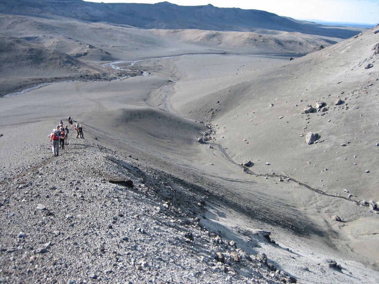
From Þorsteinsskáli hut(GPS (1 ) 65°11,56N - 16°13,39W) the trail, marked by yellow sticks, goes W to the table mountain Herðubreið, the queen of the mountains in this area. The trail curves N and W around Mt.Herðubreiðto a car park just W of the mountain. The trail then goes W across pahoehoe lava and the Flatadyngja lava shield where there is an interesting crater just N of the trail. At the Bræðrafell hut (GPS (2) 65°11,31N - 16°32,29W) drinking water comes from tanks on the walls of the hut.
Day 2: From Bræðrafell to Dreki hut.
Distance:18-20 km, vertical ascent: 60 m, minimal walking time: 6-7 hrs.
The trail, marked by yellow sticks, goes S across two brief stretches of aa lava, towards the eastern slopes of the Dyngjufjöll massif. The trail goes S along the foot of the massif, just under the peaks Stórakista and Litlakista. The trail then goes across old lava streams, which have flowed E out of the Askja caldera by way of Öskjuop. Finally the trail follows the eastern edge of the black aa lava (Vikrahraun) from the 1961 eruption in Öskjuop and joins the jeep track to Dreki-hut, 2-3 km east of the hut (GPS (3) 65°02,52N - 16°35,72W).
Day 3: From Dreki across the Askja caldera to Dyngjufell hut.
Distance:19-20 km, vertical ascent: 500 m, minimal walking time: 8-10 hrs.
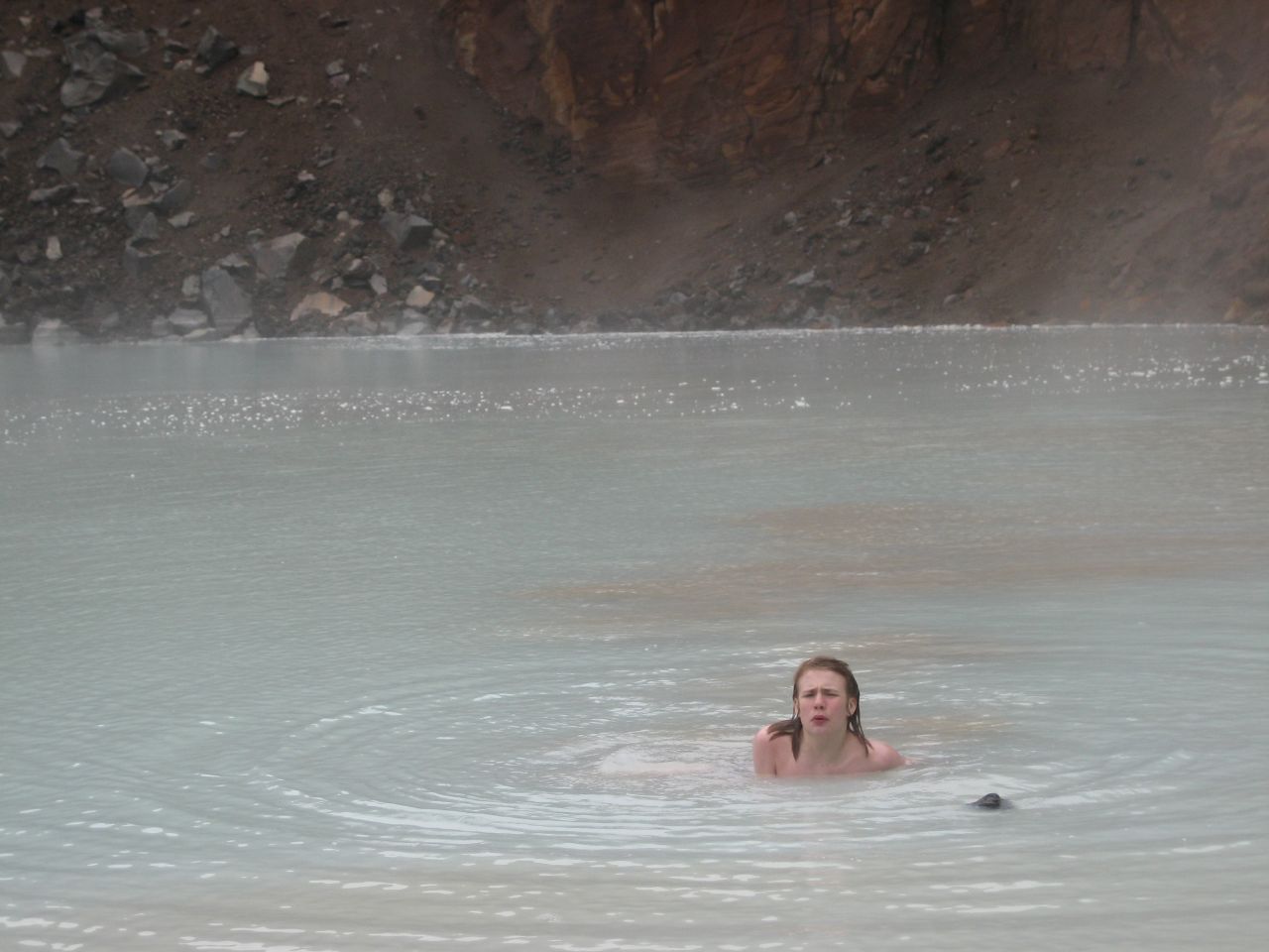
In cloudy weather, follow the jeep track NW from Dreki-hut up into Öskjuop to the car park near the craters from 1961. Here, one can leave the rucksacks behind and follow a marked trail S to the magnificent crater Víti at the NE corner of lakeÖskjuvatn. In good weather, one can walk from Dreki, along a trail marked by yellow sticks, across the mountains W of the hut, to the Askja-caldera. The view from the eastern rim of the Askja caldera is absolutely fascinating. From the rim, descend NW into the caldera to the crater Víti where one can take a swim. From Víti follow the trail N to the car park in Öskjuop. From here, follow the sign for Dyngjufell NW across a very rough stretch of aa lava to the mountain slope to Jónsskarð pass (GPS (4) 65°04,51N - 16°49,07W). From here, the trail is marked by yellow/red sticks and cairns across the pass, with an exceptional view S and N, and down to the Dyngjufjalladalur valley and Dyngjufell hut (GPS (5) 65°07,48N - 16°55,28W).
Walkers might spend an extra day in Askja and a 2nd night in Dreki hut because the area is so unique.
Day 4: From Dyngjufell to Botni hut.
Distance: 20-22 km, all downhill, minimal walking time: 6-8 hrs.
The trail follows a marked jeep track N out of Dyngjufjalladalur valley, through sand and easy lava fields with beautiful views to the many volcanoes in the area. Some 13 km N of Dyngjufell follow a signpost (GPS (6) 65°13,69N - 16°58,83W) for Botni and walk from here under the eastern edge of an aa lava (Frambruni/Suðurárhraun) to the Botni hut (GPS (7) 65°16,18N - 17°04,10W), some 650 m SSE from the uppermost wells of Suðurá-river at Suðurárbotnar.
Day 5: From Botni to Svartárkot-farm.
Distance:15-16 km, all downhill, minimal walking time: 5-6 hrs.
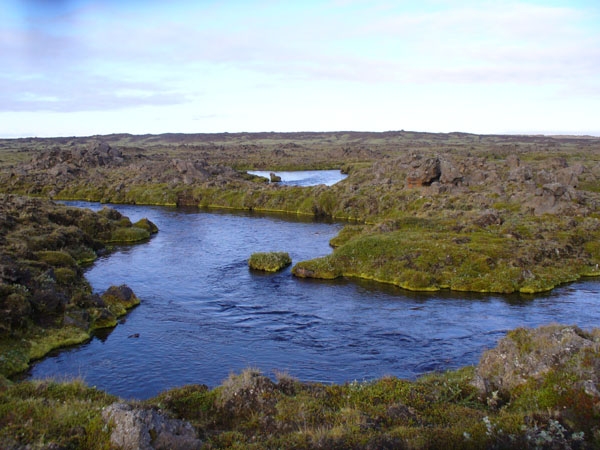
The trail follows an old jeep track to the wells at Suðurárbotnar where a large number of crystal-clear streams appear from under the edge of the lava. Here there is suddenly lush vegetation after the barren wilderness of Ódáðahraun. The trail goes past Botnakofi, the remains of an old shepherds' hut, then follows the NE bank of the Suðurá-river past Stóraflesja where there are more recent shepherds' huts. Finally the trail leads NNW from Suðurá to Svartárvatn-lake where crystal-clear water flows from under the lava directly into the lake. Here, the Askja-Trail ends at the Svartárkot-farm.
Compiled by the walking route committee of the FFA in June 1999.
   |
Askja Trail. Holiday tour with guide.
|

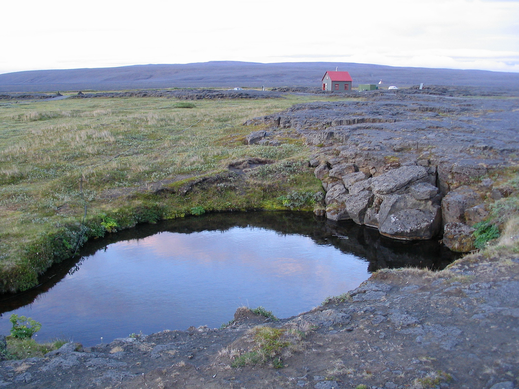
There is a stop at Herðubreiðarlindir.
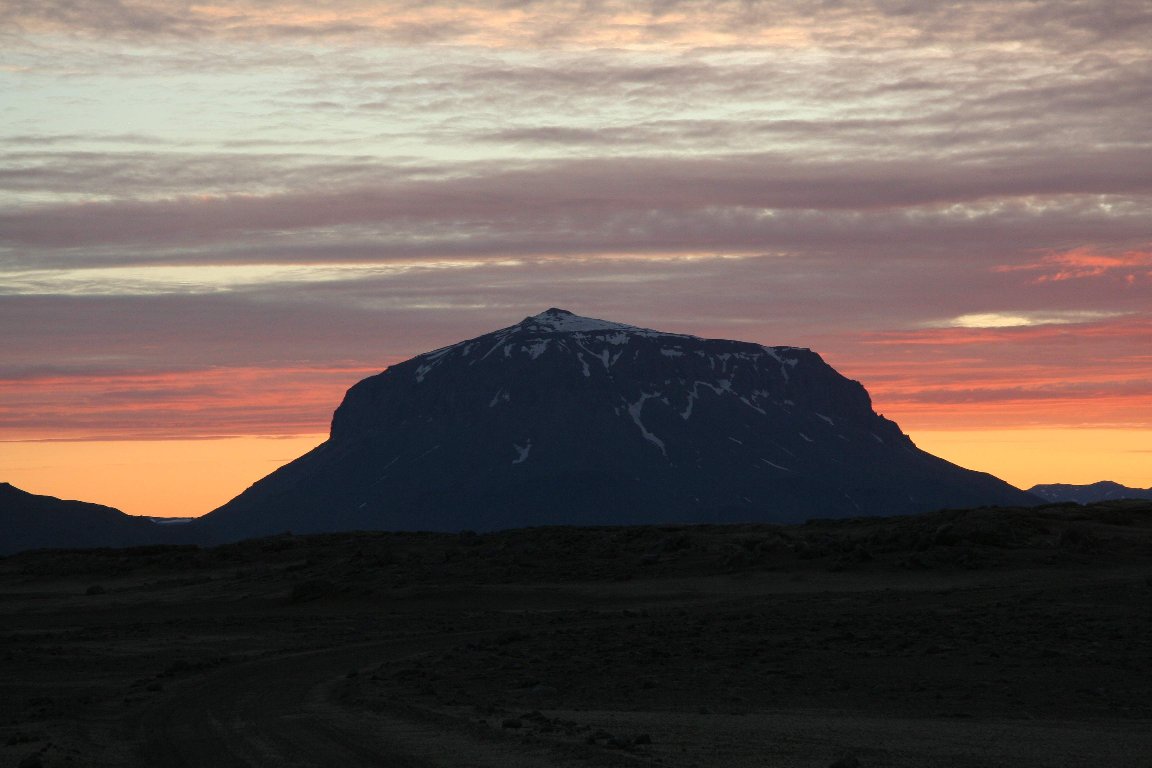
Herðubreið is a 1682 meter high hyaloclastite mountain north of Vatnajökull. It is in Ódáðahraun and is often referred to as „The Queen of Icelandic mountains“ because of it's beautiful shape. The mountain was formed in an eruption under glacier. On the top are lava fields which means that the eruption reached above the glacier surface. Such mountains, that is hyaloclastite mountains with lava fields on top, are called table mountains. Mount Herðubreið was elected the national mountain of Iceland the year 2003.
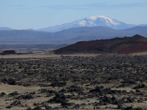
Snæfell seen from afar on the way to Bræðrafell - Dreki
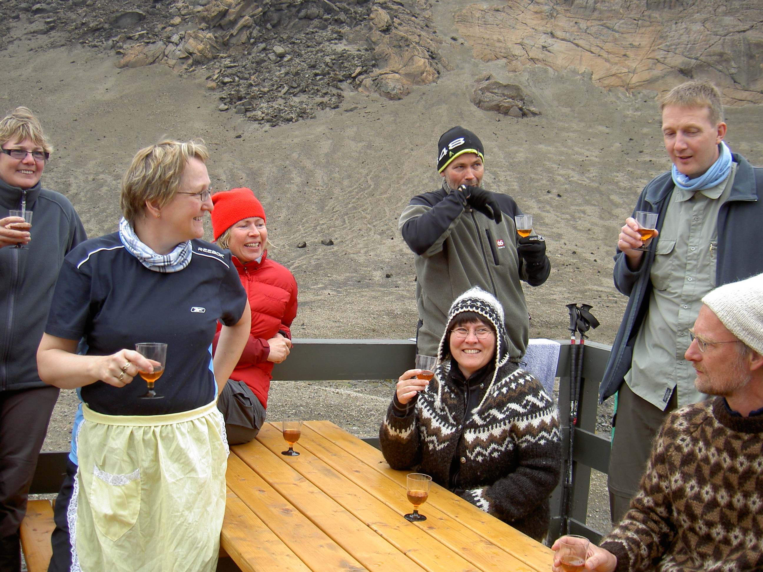
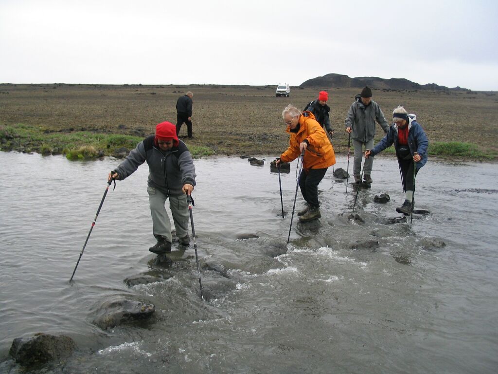
You get to know new people in a good group.
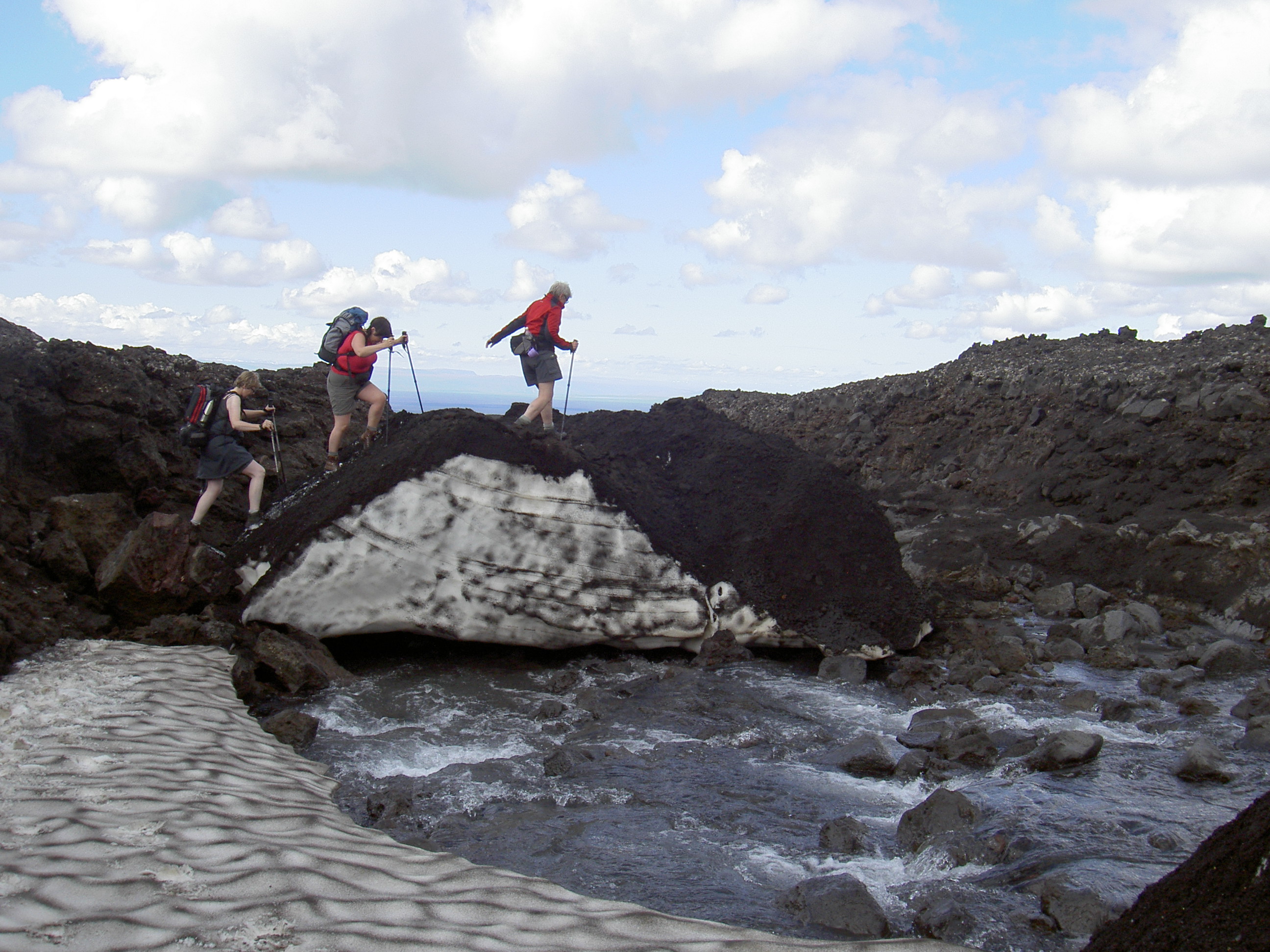
Walk over a snow bridge.
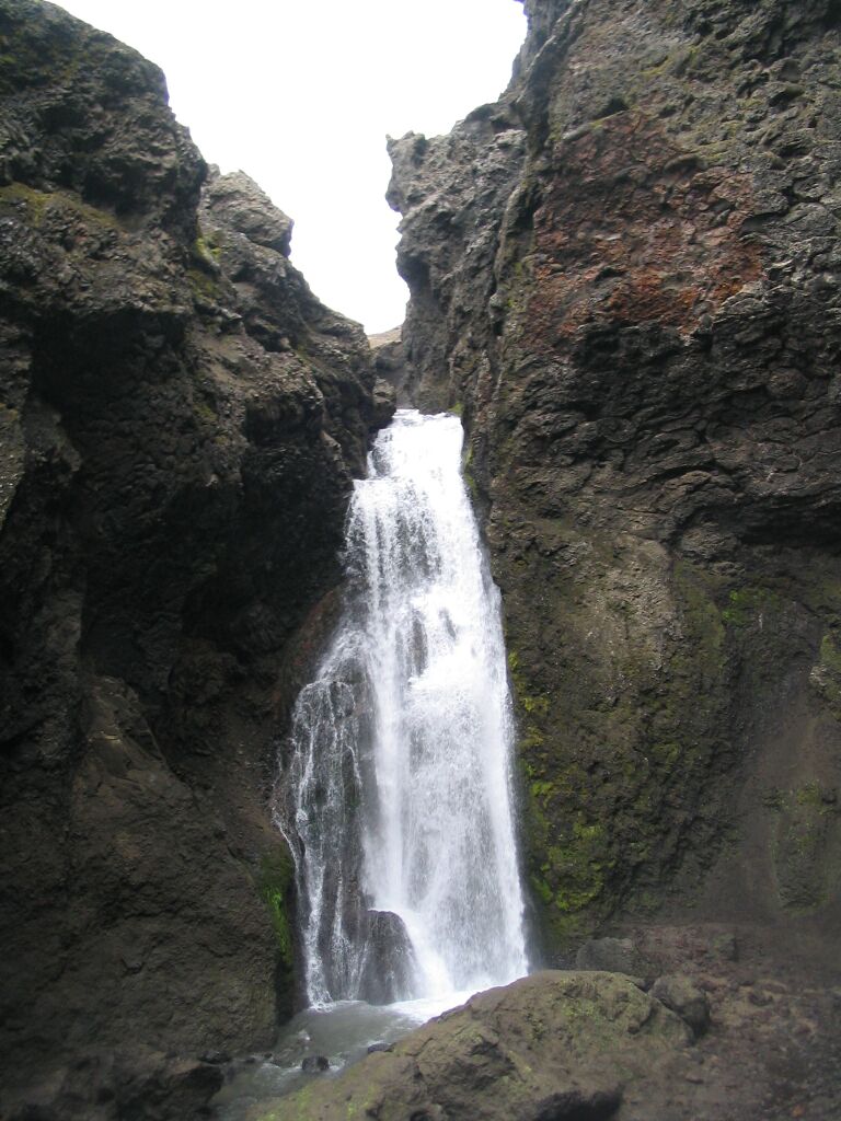
Drekagil
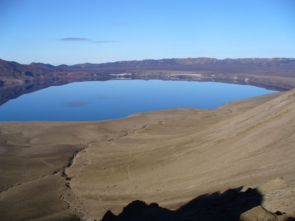
Lake Öskjuvatn, this is a sight no one forgets.
Askja in Dyngjufjöll mountains was declared as a protected natural monument in 1978 and is one of the most special natural formations in Ódáðahraun. Askja, a great elliptical caldera, has had many eruptions. There is lake Öskjuvatn, the second deepest lake in Iceland at 217 m. It is unforgettable to anyone who visits it.
Excitement
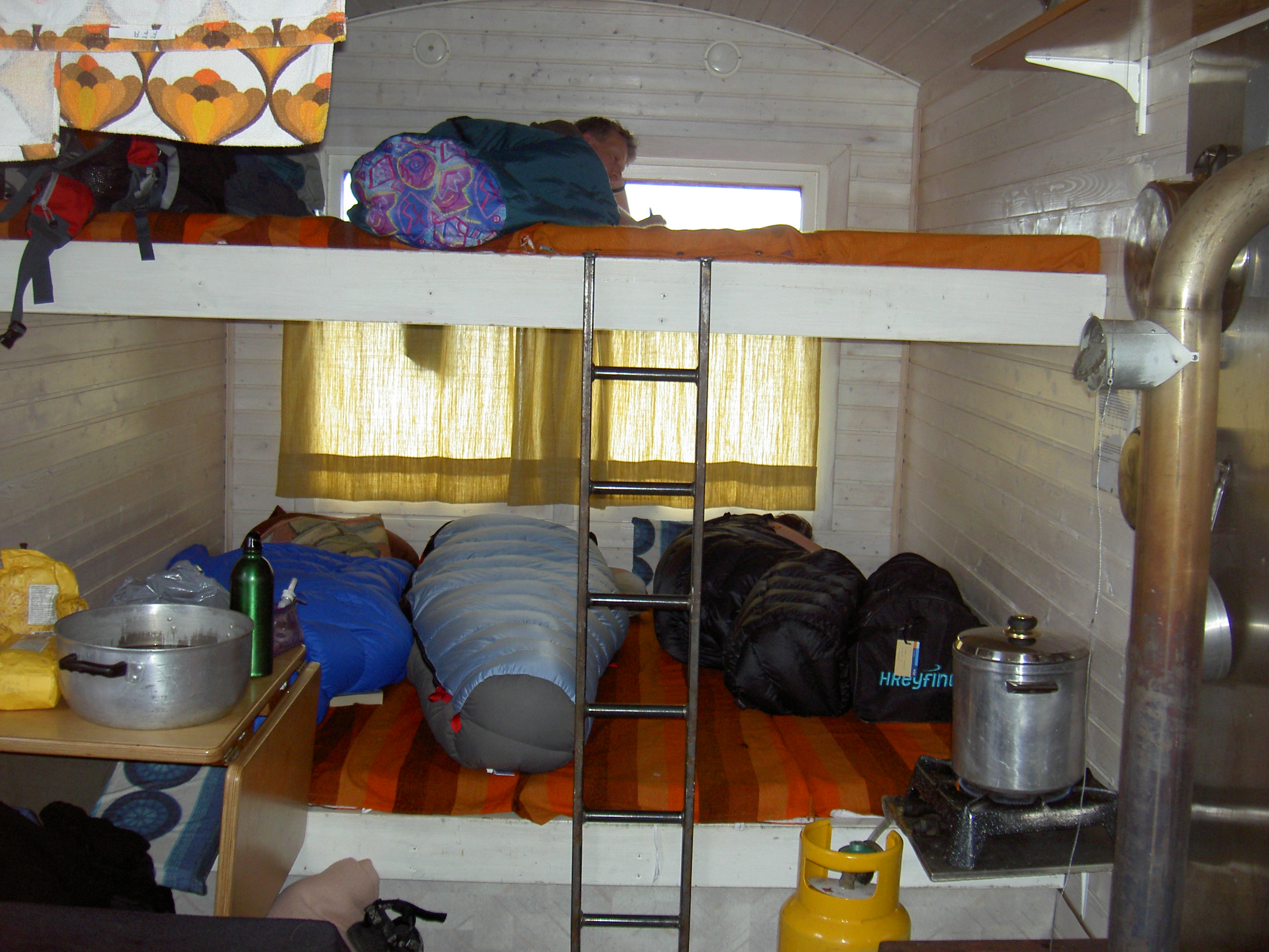
The Dyngjufell hut.
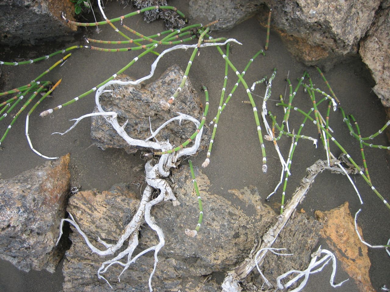
Even in the desert there is growth, although the circumstances are harsh.
The lake appears all of a sudden and after many days in the wilderness of Ódáðahraun it is a very powerful experience to sea the lake and its surroundings. An experience which cannot be fully felt unless having walked the Askja trail.
(Most of the pictures belong to Jakob Kárason)
Regristration to the Askja trail and information at Ferðafélag Akureyrar, phone number +354 462-2720 Monday through Friday between 11 and 13 and after the 1st of May from 14-17 Mondays through Fridays. E-mail is ffa@ffa.is